The delivery area of the Vesala.fi online store is Finland, and all products of other brands we represent are only sold in Finland. Our own Vesala products are available worldwide through our dealer network.Dismiss
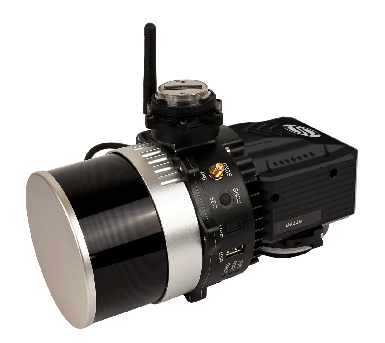
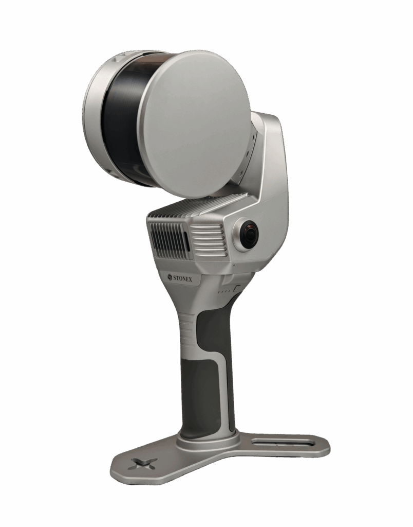
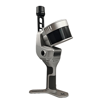
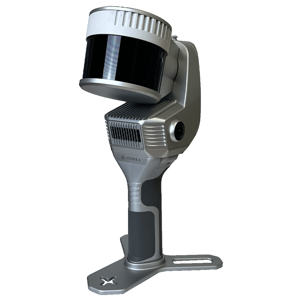
XFLY series integrates high performance Inertial Navigation System with camera and LiDAR for point cloud generation. Different customer’s need can be met by the choice of Hesai LiDAR XFLY120, XFLY300 or other sensors.
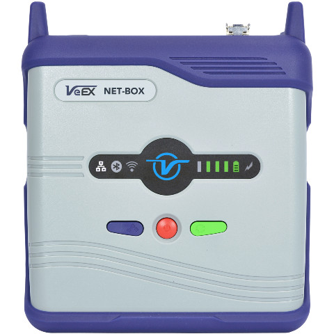
The processing platform contains a Wi-Fi interface, an embedded cellular modem for RTCM corrections, data logging software and a gigabit Ethernet network.
Equipped with a high-performance INS, it delivers clean point clouds even at high AGL. As a small, lightweight and low-power system, it allows the user to fly longer, adapting to the needs of any project. The post-processing software provides fully automatic point cloud generation.
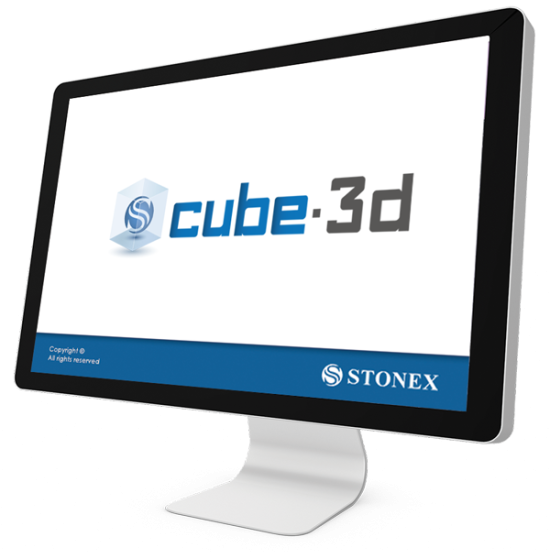
BUNDLED SOFTWARE
FLYpost
The software observes and corrects misalignments between the INS and LiDAR, and georeferences the data into a geographic coordinate system. The post-processed INS trajectory, LiDAR scan files and camera images are converted to point clouds in LAS format for further processing.