Stonex X120GO v2 SLAM Laser Scanner
Request an offer
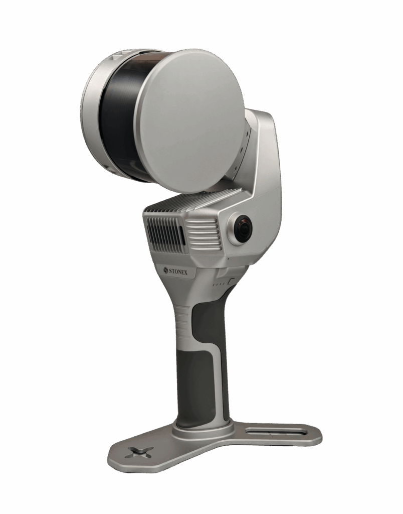
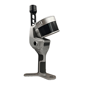
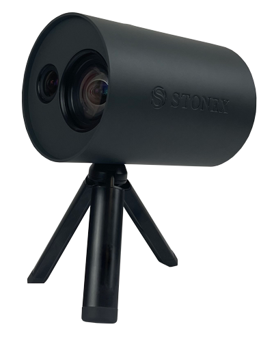
The X120GO is the latest generation system based on the SLAM technology, capable of covering any customer need. The range of up to 120 metres and a rotating head that maximises the coverage of the laser beam make it versatile for any environment.
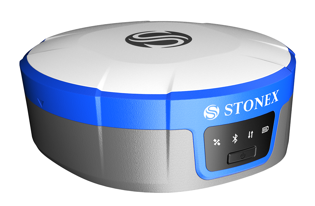
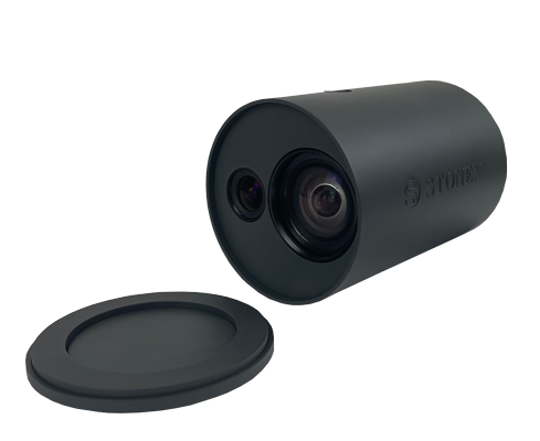
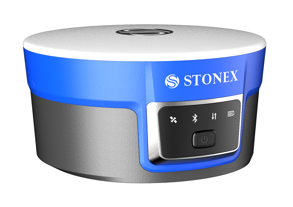
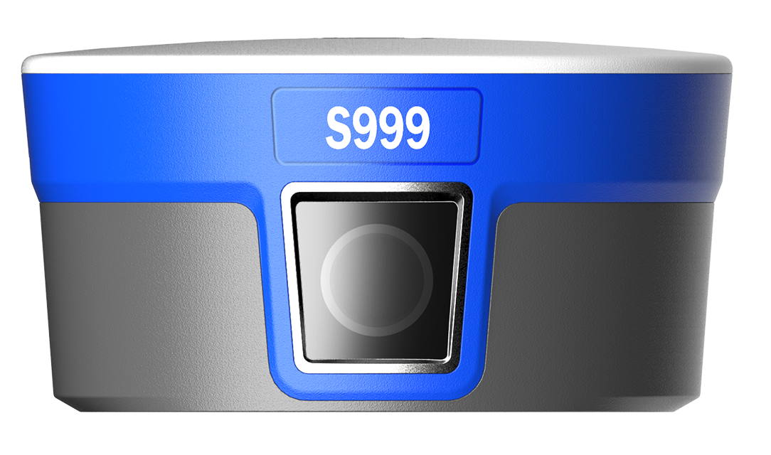
Equipped with 2 cameras and GNSS receiver for real-time point cloud colouring and orientation. The two cameras provide navigable and measurable panoramic cameras superimposed on the 3D model.
The system allows for the survey of static scans in X-Whizz mode, automatically aligned to the SLAM survey.
Backpack, shoulders hook, car mount and UAV mount for DJI M350 can complete the system.
X-WHIZZ MODE
X120GO merges mobile and stationary surveying. To the advantageous SLAM solution that allows you to survey large areas in a very short time, it combines a stationary mode to scan with higher resolution.
RAPIDITY AND REDUCED WORKLOAD
No more multiple scan station, just move around the scene to collect the entire 3D point cloud, without time-consuming cloud to cloud alignment.
REAL TIME RESULTS
Real-time point cloud colouring and orientation
AUTOMATIC CONTROL POINT MEASUREMENT
When capturing data, X120GO is able to collect reference points too. They can be matched with known control points to georeference the scans.
INTEGRATED CAMERAS
Two 12Mpx cameras
HIGH PERFORMANCE COMPUTATION
Very efficient system for perfect data return
BUNDLED SOFTWARE
![]()
GOapp
GOapp is Stonex SLAM’s dedicated mobile application to manage projects, real time point cloud display, image preview, firmware upgrade and other operations. The APP runs on Android and iOS operating systems.
![]()
GOpost
Windows post processing software which performs optimization processing, colouring of point clouds and creation of panoramic images. You can also import control points to georeference the point cloud.
