A New Era of Hybrid Scanning
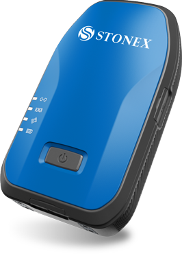
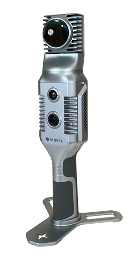
The Stonex X70GO SLAM Laser Scanner is a real-time 3D reconstruction device that combines a high-performance computer and storage system. It features a 360° rotating head which, together with the SLAM algorithm, produces high-quality point cloud data.
The 12 MP visible-light camera provides texture information, while the visual camera ensures a stronger real-time preview through the GOapp. Mapping results are generated immediately within the scanner right after scanning: you can choose to colorize and enhance their accuracy in post-processing using the GOpost software.
X-WHIZZ MODE
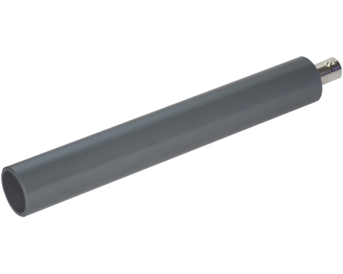
The X70GO combines mobile and stationary mapping. This cost-effective SLAM solution enables large-area mapping in a very short time and combines it with high-resolution spatial scanning. Mount the X70GO on a tripod and stay in place at key areas for a few seconds. This offers the perfect balance for those who need both speed and accuracy in mobile mapping.
REAL-TIME RESULTS
The built-in visual camera stabilizes the real-time SLAM algorithm, especially in environments with weak structural texture. Data is ready for use immediately after mapping.
SPEED AND REDUCED WORKLOAD
No more multiple scanning positions — simply move around the area to capture the entire 3D point cloud without time-consuming cloud-to-cloud alignment.
AUTOMATIC CONTROL POINT MEASUREMENT
While collecting data, the X70GO can also capture reference points. These can be aligned with known control points for georeferencing scans.
HIGH PERFORMANCE
The system can directly produce mapping results immediately after data collection. You can choose post-processing if you want to improve accuracy.